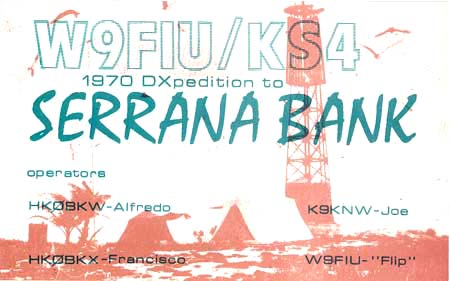
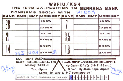
W9FIU/KS4 1970 Serrana Bank
Operators: HK0BKW Alfredo
Howard, HK0BKX Francisco Velez,
K9KNW Joe Goggin, W9FIU Roger "Flip" Ries.
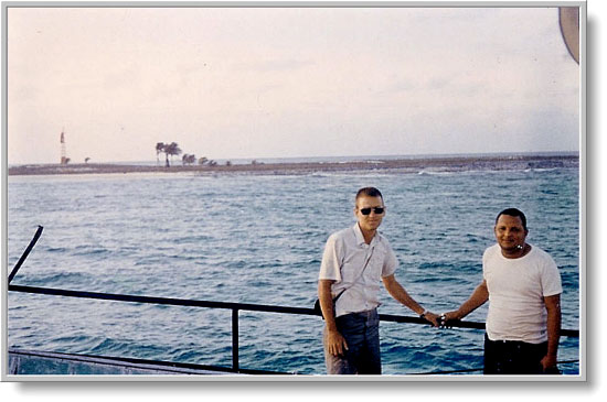
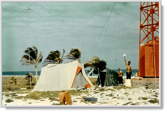
W9FIU, HK0BKX near Serrana Bank
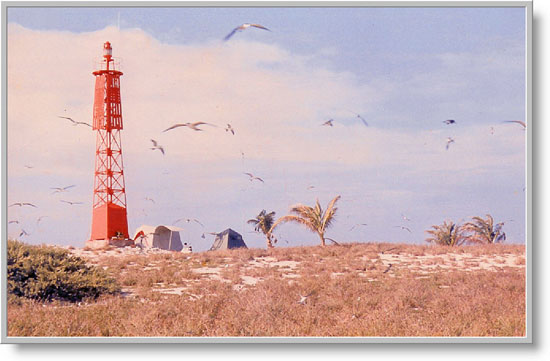
Setup near the lighthouse, a great support for antennas!
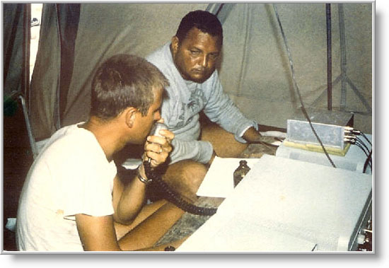
W9FIU, HK0BKX in the SSB tent
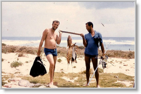
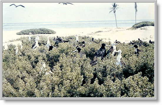
K9KNW, HK0BKW Catch of the day!
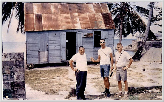
HK0BKX, HK0BKW, W9FIU find another shack on the island.
Serrana Bank
The Serrana Bank, located about 360 km east of the shores of
Nicaragua, are in a mean position on 14N24 and 80W16. The Bank is
a wide mostly underwater reef, about 50 km long and 13 km wide.
Several cays and small islets are located on the wide reef. The
most prominent cay is Southwest Cay (14N16, 80W24) about 1.2 km
by 0.8 km in area, with several ruins of a former military base,
used by the US Mariners during the Cuba Conflict. The islets are
all covered with spare vegetation, bushes and some trees. On
Southwest as on Narrow Cays stands lighthouses, operating and
administered by Columbia. The South West Cay light is a 82 ft
high tower, constructed by a combination of a concrete dwelling
and a white iron framework tower with a light on its top.
The reefs were first shown on a Dutch map in 1545. In 1660 the British Glover mapped most of the cays. Today the cays are frequently visited by lobster fishermen. The newest Mariner Pilot reports, that North Cay is permanent inhabited by turtle fishers, and several new wooden huts are standing on the cay. Serrana Bank is owned today by the military and any stay and landing needs a special permit.
Roncador Bank
To the area of Serrana Bank, belongs the area of Roncador Bank,
also a part of NA-133. The Roncador Bank, with its several sandy
cays, is located about 220 km north-east of St.Andreas Isl., and
is a 14 by 6 km wide reef-area, running from 13N29 up to 13N35.
Most of the reef is underwater, so it is known as a
ships-cemetery.
Roncador Cay
In the northern area lies Roncador Cay (13N35, 08W04),
about 600 m by 300 m in area, and rising to 4 meter elevation.
There are several houses on it, partly ruined, also build up
during the Cuba problem, by American troops. An old disused light
is shown from its north end.
The Roncador Cay was shown first on a Dutch map, dated to 1601 as Arecife Roncadore. Later on the British J.Glover mapped the area. In 1949 the USA annexed the cay, and returned it in 1982 to Columbia. Today all the cays are frequently visited by lobster fishers. A new light tower, 79' high, stands on the northern most end of Roncador Cay (13N35, 80W05), erected in 1978. In 1991 the 'Pamir Sound', a Panama vessel, run on the southern end of Roncador Bank and is now a conspicuous landmark on the south approach to the bank. Roncador Bank is owned today by the military and any stay and landing needs a special permit.
One historical note is needed. The Serrana and Roncador Banks were formerly claimed and occupied by the U.S.; the islands reverted to Colombia in 1981 after the U.S. gave up its claims in a 1972 treaty. (The status of Serranilla Bank and Bajo Nuevo is less clear; the U.S. Department of State reiterated the American claim in December 2003, but that statement has now disappeared from the Department of the Interior's web site.) All these islands are also claimed by Nicaragua, and Bajo Nuevo is claimed by Jamaica.
QSL from the estate of W3WGH /
W3GH
Photos & Info courtesy of W4PUL